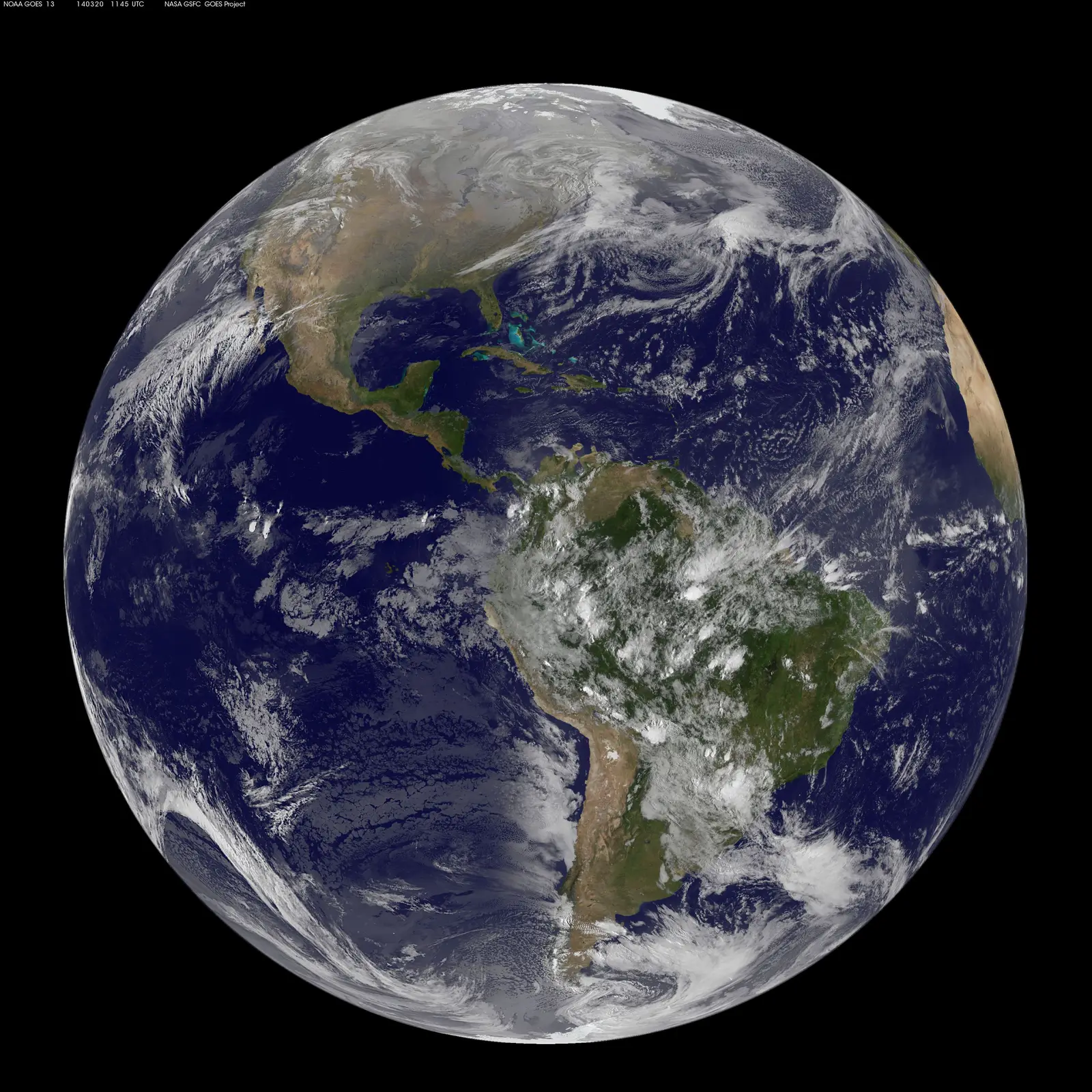
Geostationary orbit is 35,786 km up, where one orbit takes one day, so satellites stay over one spot. Hundreds sit along this arc. Clarke published the idea in 1945.
NOAA/NASA GOES Project · Original image and terms. Web-sized reproduction.
See the ring across your sky.


How to see it tonight
Individual satellites along the geostationary arc are usually too faint to see with the naked eye. A handful catch sunlight and flare briefly, especially near the equinoxes. This page draws the arc itself, not a promise of visible dots.
Geostationary orbit sits 35,786 kilometers above the equator. At that altitude, one orbit takes exactly one day. So a satellite there keeps pace with Earth’s spin and stays fixed over the same spot. It always sits somewhere along a single arc across your sky.
From the equator the arc runs directly overhead. Farther north or south it dips lower toward the equator-facing horizon. From far enough north or south, it sits below the horizon and stays out of view entirely.
Science-fiction writer Arthur C. Clarke described the orbit’s use for relay stations in a 1945 article for the magazine Wireless World. That was years before any satellite existed. Hundreds now sit along the arc he described.
What actually parks there today is mostly television, weather and communications satellites. That kind of infrastructure benefits from staying fixed over one region. The first, Syncom 3, reached the orbit in 1964, less than two decades after Clarke’s article.
For scale, the International Space Station orbits about 400 kilometers up. The Clarke Belt sits nearly ninety times farther out. That is why satellites there hold still instead of passing overhead in minutes.
What SkyLumi does
SkyLumi’s Sky Field ghost overlay draws the geostationary arc across your sky from your own location. You can see exactly where it sits relative to the horizon.
Search, Aim and AR work the same way for the rest of the sky. Point your phone up and the map follows, lined up with the real view. Night Vision keeps a deep red display for dark adaptation.
The core sky works offline, no account, no ads. Live satellite positions and deep survey imagery need a connection.
A few things to know.
Can I see geostationary satellites with my eyes?
Rarely. Most are too faint. Near the equinoxes, some catch sunlight at the right angle and flare briefly. SkyLumi shows the arc; it does not promise a visible dot.
Why don’t geostationary satellites move across the sky?
Their orbit takes exactly one day, matching Earth’s rotation. So they stay fixed over one spot on the ground and appear motionless from below.
Who came up with this idea?
Arthur C. Clarke, a science-fiction writer, described the orbit’s use for relay stations in a 1945 magazine article. That was well before the first satellite launched.
Can everyone on Earth see the arc?
No. From far enough north or south, the geostationary arc sits below your horizon and is never visible.
More in the Sky Library
Sources and image credit
- NASA Earthdata: orbit types and geostationary altitude
- Arthur C. Clarke, “Extra-Terrestrial Relays,” Wireless World, October 1945 (reproduced)
Image attribution and original terms are linked beneath the image. Use of imagery does not imply endorsement of SkyLumi.